English English


 |


| PDF Export | |
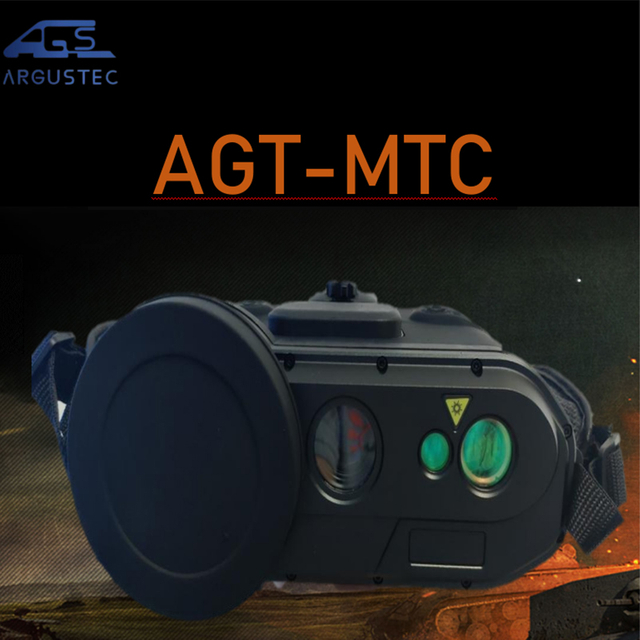
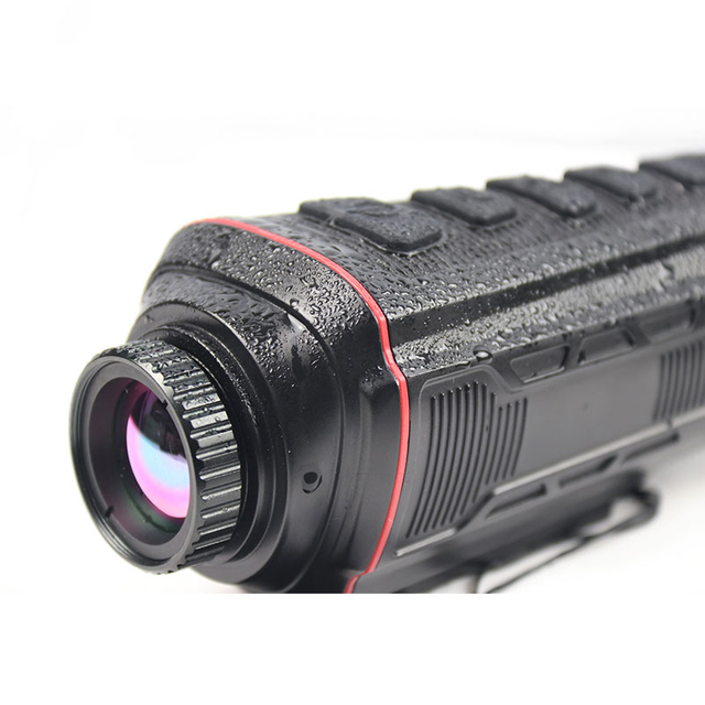
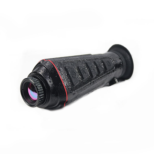
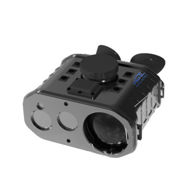
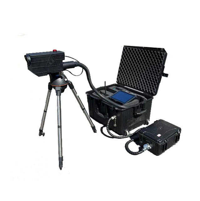
AGT-AUS70
Argustec
The AUS70 anti-drone system is independently developed and produced by HOPEWIST technologies. Through the design of two servo turntables, each module is integrated and uniformly controlled by the anti-drone software, giving full play to the advantages of each device, ensuring that each module device works independently while achieving more efficient linkage and precise disposal. The system has a modular design and can flexibly match detection and interference modules according to customer needs, and flexibly select optical configurations to meet the detection, identification, countermeasures and other needs under different usage scenarios.
The system has a high degree of integration, can work independently and efficiently link;
The spectrum detection function is diverse,deal with detection and analysis of drone signals;
The radar detection performance is advanced, and digital beamforming is provided;
The intelligent amera system is intuitive and accurate, and the high-precision servo control ensures stable tracking;
The combination of soft and hard suppression interference, the integration of interference deception and laser blinding realizes soft and hard killing strikes;
Modular design, independent splitting and installation of subsystems, and flexible matching;
Easy installation, wide application, reduced cost, simplified system calibration and debugging, and one-click achievement.
Model No. | AGT-AUS70 | |
Distance | For the target of DJI phamtom 4 RF detector≥5km Radar ≥5Km; Camera detection≥5km,Track distance≥4km; Jamming distance≥5Km,Deception distance:≥5Km; Laser blinding:≥1Km; | |
RF detection | Detection recognition frequency range:300MHz~6000MHz; Detection frequency :845MHz、915MHz、1.4GHz、2.4GHz、5.2GHz、5.8GHz; Detection bandwidth:≥120MHz; Accuracy:≤3° Target detection in one same time:≥30 pieces; | |
Radar | Working band:X hanga Data refresh data:2s Target detection:≥200 pieces Blind area:≤50m Coverage: Azimuth: 0°~360°; Pitch: 0°~40°; Altitude: ≥800m Accuracy (RMS): Azimuth: ≤0.4°; Pitch: ≤0.4°; Distance: ≤5m; | |
Suppression Interference | Suppression Interference | Interference countermeasure frequency band: 845MHz/915MHz/1.5GHz/2.4GHz/5.2GHz/5.8GHz Power amplifier ≥50w Navigation deception frequency band: Civilian C/A code frequency band of GPS, GLONASS, BD satellite navigation system; Interference azimuth coverage: 0-360° pitch coverage: -30~60° Interference mode: directional interference Others: Support link interference and navigation interference to work simultaneously Power: ≤1200w |
Laser blinding | Distance:1km Wavelength: 532nm; Power consumption:≥0.5MW; Frequency:5Hz; Divergence angle:≤8~9mrad; | |
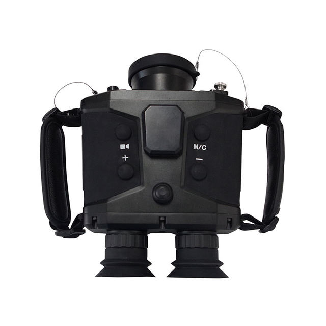
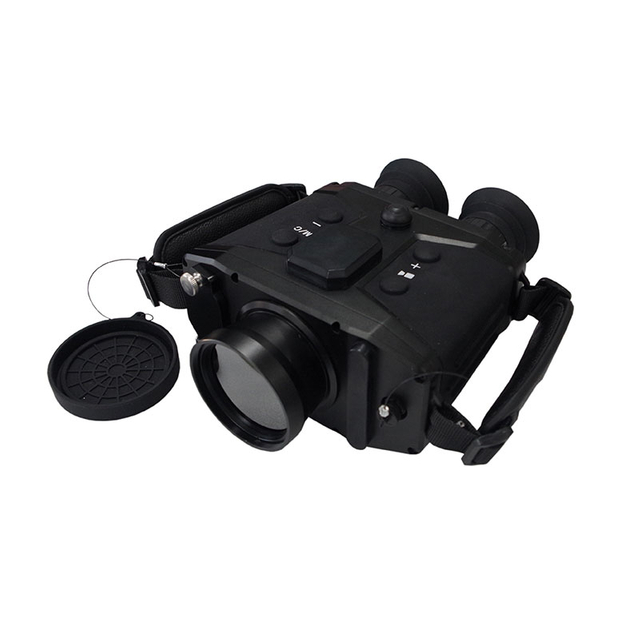
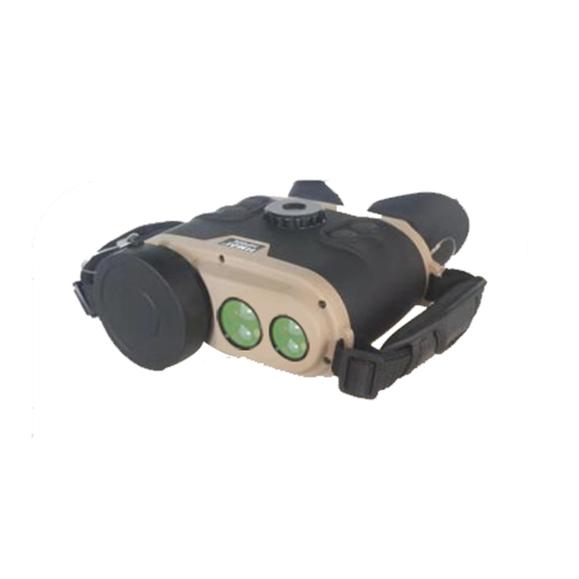
Intelligent camera | Thermal camera channel | Detector: Cooled focal plane array MCT detector Resolution: 640×512 Lens: 20~450mm, 12x continuous optical zoom Lens control: Electric zoom, manual/auto focus Image enhancement: SDE digital image detail enhancement technology |
Daylight camera channel | Sensor: 1/1.8″ target surface starlight-level CMOS, ICR color to black Resolution: 2688×1520 Focal length: 12.5~775mm HD electric zoom lens Defog: Support photoelectric/electronic dual fog penetration | |
LRF | Distance:≥3km Wavelength:1570nm | |
AI·Tracking | Computing power: built-in 16Tops computing power processor Implementation method: front-end embedded hardware recognition and tracking Tracking mode: manual, automatic tracking, support radar linkage Recognition: support classification and recognition of targets such as people, cars, ships, drones, etc. (customers need to assist in providing data sets) | |
Servo platform | Structure: side load, coaxial Horizontal range: N×360° continuous rotation, mechanical lock after power failure Pitch range: -30°~+60°, with soft limit function, programmable Rotation speed: horizontal 0.01°~100°/s, pitch 0.01°~80°/s Acceleration: horizontal 100°/s2, pitch 100°/s2 | |
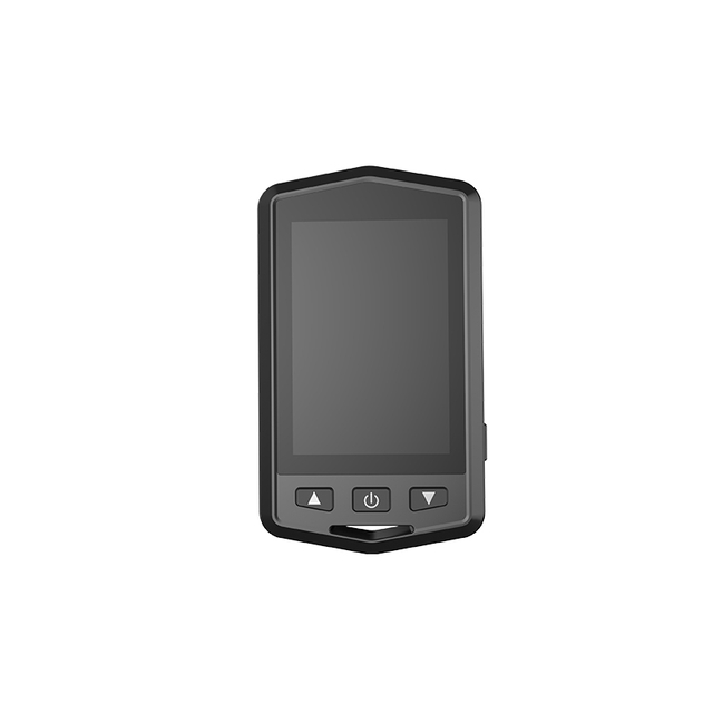
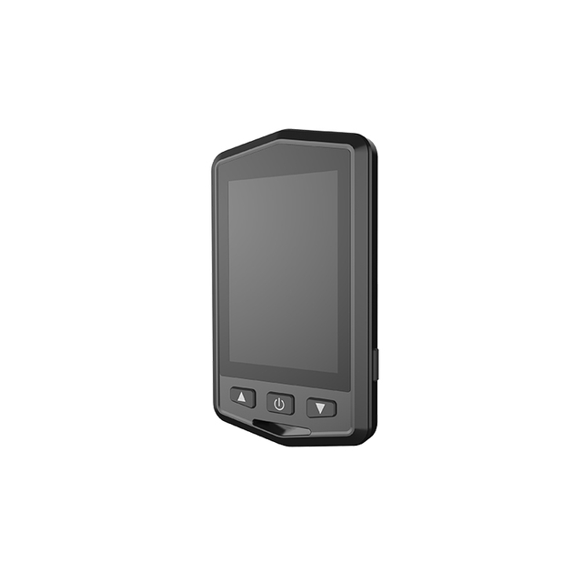
Interface | Network interface: 1 100M/1000M adaptive Ethernet port Power supply: AC220V±20%, 50Hz System power consumption: ≤3000W Total weight: ≤260kg | |
Software | Integrated control and display: platform integrated design, centralized control, centralized display, more efficient operation Equipment access: support spectrum, radar, optoelectronic, countermeasure equipment access, control, support online status monitoring Situation display: support spectrum detection of drone target information access; support dynamic display of drone target point trace and track information, support radar target track, video recording and synchronous playback. Situation distribution: support spectrum, optoelectronic, radar and countermeasure equipment, target point trace, and other types of information based on two-dimensional comprehensive situation distribution display; support optoelectronic equipment video pop-up window observation and cloud mirror function scheduling; support target track to guide optoelectronic sighting, and each detection information to guide countermeasures. Data fusion: support spectrum and radar track data fusion, 0-20 levels can be set, support spectrum, radar, optoelectronic secondary fusion, sign display. Unmanned: support radar optoelectronic automatic linkage, support single target unmanned, multi-target unmanned; support unmanned automatic strike, strike conditions can be set. | |